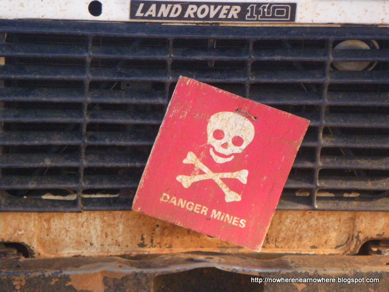
We've been spending more time in Juba than expected. There was a possibility to drive in convoy with some TDI vehicles but it seems that will only happen next week. however we want to start moving before the heavy rains predicted washes-out the roads, as had already partly happened during the last days, leading into Juba. we will leave tomorrow morning. our route for south Sudan: Juba, Rumbek, Wau, Aweil; then further North toward Khartoum.
We expect the journey from Juba to Khartoum by road to take somewhere between 1 and 2 weeks, travelling +-2000km on the worse roads imaginable from the tropic south to the desolate northern Sudan. full advantage have been taken of the flush toilets, showers and ice cold drinks on offer here at the compound and will be desperately missed...thanks again to TDI (The Development Initiative [for mine action]), FSD (Swiss Foundation for Mine Action) and SIMAS (Sudan Integrated Mine Action Service) who have graciously hosted us here at their compound and for all the helpful information offered about the expected conditions ahead..
No comments:
Post a Comment